Weather and Environment Monitoring System
1.Function Introduction
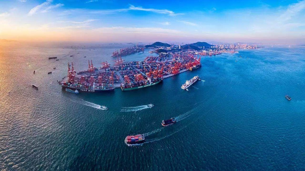
By using specialized software to create a 3D real-life model of the dock, a realistic 3D map of the port area can be created with high precision in scene details, meeting the needs of port display, planning, and virtual reality applications. Multi angle browsing and immersive roaming effects can be achieved as needed.
2.system function
Establish a meteorological environment monitoring system exclusive to the port area
Real time collection of visibility, wind speed, direction, hydrology, etc. at various key points, waterways, sea surfaces, etc
Set up multi-level warnings to guide on-site safety production
On site data sharing between the group and its subsidiaries' production, engineering, and information departments
On site data reporting to maritime, pilotage departments, and local meteorological bureaus for sharing
Support external data from local meteorological bureaus for data reference and analysis

3.System advantages
Joint maritime data guidance for ships entering and leaving ports, improving berthing efficiency
Ensure the safety of production operations in the port and optimize operation plans;
Eliminate major work safety accidents caused by strong winds or low visibility;
Real time monitoring of air quality in the port area to improve production efficiency under adverse weather conditions and protect the environment;
Real time monitoring of ocean data to guide production planning;
Record and analyze historical wind speed and visibility data, predict the impact on production for the current year;
Analyze the changes in the wind field within the port area and remind of the danger of pile up;
Dedicated meteorological and environmental collection gateway, supporting various sensors; Specialized wind speed change model and warning model;


